The forecast in October by the Climate Prediction Center, a division of the National Weather Service, indicated the odds were stacked against the Golden State: a rare third year of La Niña was expected. And California had already recorded its three driest years in the historical record.
The center’s seasonal forecast for December, January and February said there were equal chances of a dry or wet season in Northern California. But for Southern California, the agency reported there was a 33% to 50% chance of below-normal precipitation.
Every California state water agency and every local water agency were preparing for another winter of drought.
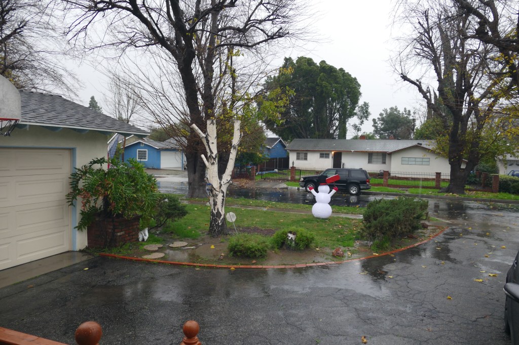
Then the surprise started at the beginning of December 2022. Rain storm after rain storm hit Southen California.
How could that happen when this season was a predicted La Niña winter?
The meteorologists (climate scientists) provide us with an exclamation. One meteorologist who has warned against putting too many eggs in the La Niña basket is Jan Null, a former lead forecaster for the National Weather Service. In late 2020, as La Niña was developing, he tweeted of the phenomenon: “What does it mean for California and U.S. rainfall? Almost anything!”
So while La Niña and El Niño do factor into Southern California weather, another phenomenon known as the Madden-Julian Oscillation can affect whether storms hit. And instead of being forecast months in advance, they can be predicted only weeks ahead of time.
The Madden-Julian Oscillation — or MJO — is separate from La Niña and El Niño. It’s another way of predicting rain and it provides an excuse for incorrect forecasting.
1997-1998 was a year when the El Niño was accurately predicted (48.3 inches) and that started my collection of rain at my home. What I learned is that the average amount to rain is not a guide to how much rain will fall in any given year. Last year the total rain was just of 6 inches. This year the rainy season is only half completed and the rain received is approaching 16 inches.
